


![]()
Have you ever wondered why even a tiny mistake in describing a property might spark a huge legal issue? A legal description is like a word map that shows the exact shape and borders of your property. It works as a clear guide that helps you avoid messy disputes and problems with titles (legal documents proving ownership). In this article, we explore how using the right words can protect your claim and keep ownership hassles at bay. Read on to see why every little detail in a legal description counts for keeping your property rights safe.
Understanding Legal Descriptions: Defining Property Boundaries with Precision
A legal description uses clear, exact words to show where a property is and how big it is. It acts like a unique name tag, especially for empty lots that don’t have a regular street address. You’ll see these descriptions in deeds, lis pendens (legal notices about pending lawsuits), and other official papers. Keeping the description the same in all documents is really important to steer clear of boundary fights or problems with property titles.
It lays out precise lengths, landmarks, and other important markers, sort of like drawing a map using words. Imagine reading a description that begins, "Start with a surprising fact – before she became famous, Jane once sketched her first house using only a pencil and paper." This shows that every little detail matters from the very first word.
Legal descriptions need to follow strict guidelines so they’re crystal clear. If what’s written in a deed doesn’t match what’s in the public records, it can cause legal headaches, and sometimes even make the deed invalid. That’s why getting every detail right is so important when dealing with property.
Having an accurate legal description not only helps transfer the title without a hitch but also clears up any confusion in disputes about property lines. In any real estate transaction, the legal description is the go-to guide that precisely pinpoints the property being traded.
Legal Description Formats: Metes and Bounds, Rectangular Survey, and Lot and Block

Metes and Bounds
Metes and bounds descriptions are all about using clear measurements and exact angles. They list distances, directions, and point out fixed markers like trees or stone markers, so there’s little guesswork involved. For example, a survey might start with, "Commencing at the South Quarter corner of Section 35, Township 2 North, Range 4 West, …" and then detail every turn and curve along the way. It’s a bit like putting together a puzzle with a measuring stick in hand.
Rectangular Survey System
The rectangular survey system works by splitting land into a neat grid made up of townships and sections. It’s a clean and simple way to label property areas. A legal description might say, "Township 2 North, Range 5 West, Boise Meridian, Owyhee County, Idaho Section 4: Southeast Quarter of the Northeast Quarter." This method makes it really easy to find and describe any piece of land quickly.
Lot and Block Method
Lot and block is the go-to method in modern subdivisions. Here, each plot is identified by its lot number in a recorded block. An example would be: "Lot 5 of Block 1, Sunset Meadow Subdivision, as recorded October 17, 2008." When you see these recorded maps, it becomes a snap to pinpoint exactly which parcel is being discussed.
| Format | Key Feature | Sample Description |
|---|---|---|
| Metes and Bounds | Exact distances, angles, and fixed markers | “Commencing at the South Quarter corner of Section 35, …” |
| Rectangular Survey | Organizes land into townships and sections | “Township 2 North, Range 5 West, Boise Meridian, Owyhee County, Idaho Section 4: Southeast Quarter of the Northeast Quarter.” |
| Lot and Block | Uses recorded subdivision maps | “Lot 5 of Block 1, Sunset Meadow Subdivision, as recorded October 17, 2008.” |
Drafting Legal Descriptions: Essential Elements and Best Practices
Licensed surveyors kick off legal descriptions by pinpointing a clear starting spot, known as the Point of Beginning (a fixed location where all measurements start). They jot down details like directions (bearings), distances, and key markers such as stone markers or even a striking tree. Picture this: a survey note might say, "Early surveyors picked a tree as the starting point, making it a quiet witness to every measurement taken." This approach lays the foundation for building the whole case step by step.
A key part of the process is the closure statement. This simple sentence verifies that the description forms a continuous loop back to the original starting point. It’s written using everyday language to meet legal requirements like Civil Code section 1092 (a law ensuring clarity), so the intended boundaries are crystal clear.
Every element, from directions and distances to fixed natural or man-made markers, must be laid out clearly. The narrative leaves no room for confusion, ensuring that each measurement and directional cue brings you right back to where you began. When all these parts are in place, the legal description turns into a dependable document that safeguards property rights, prevents disputes, and clearly establishes property boundaries.
Locating and Verifying Legal Descriptions in Public Records and Online
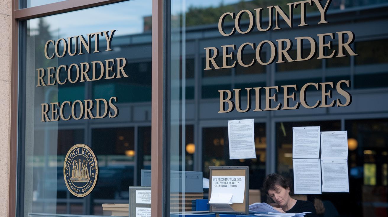
County recorder offices are your first stop when you need to check a property's legal description. They store deeds and other documents that show every detail about a property, and you can often find digital copies in PDF format. For instance, you might type in a property's street address into their search tool to pull up the official deed and compare the information.
Assessor parcel numbers (APNs) help you figure out which tax parcel you're looking at. These numbers can look different depending on where you are, like 14 digits in one county and nine in another, but they aren’t a replacement for a full legal description. They’re just used in tax assessments, not in mapping out exact property boundaries.
Modern GIS mapping platforms and recorder search tools make your search even easier. You can look up records by owner name, parcel number, or address. Imagine typing a parcel number into an interactive map and instantly seeing the accurate boundaries, which you can then match up with the official deed. This process makes it clear that every detail has been checked and matched properly.
Double-checking across multiple public records makes your findings more reliable. By using these methods, you can be sure that the legal description truly reflects the property's size and limits.
Handling Discrepancies and Disputes in Legal Descriptions
Sometimes mistakes in legal property descriptions can really complicate a sale. Errors like mixed-up landmarks, wrong directions, or uneven survey lines can even make a deed invalid if they're not fixed. For example, in the XPO Logistics Freight, Inc v. Hayward Property, LLC (2022) case, the court made it clear that tax parcel numbers are only for tax purposes and can’t replace proper legal boundaries. These kinds of issues need careful attention to help avoid future problems.
When mistakes are found, the usual fix is to order a new survey or file a corrective affidavit (a formal statement to fix records). This process is part of resolving disputes in property descriptions and sometimes involves following specific state rules under Civil Code section 1092. Property owners and professionals need to know that not meeting these state rules can lead to more legal troubles.
The best approach is to review the property’s recorded description closely and correct errors quickly. Knowing the common mistakes, like misaligned or missing benchmarks, helps ensure that everything is corrected right away. Fixing these issues not only protects your property rights but also keeps legal documents accurate, which in turn avoids delays in property transfers and ensures your title remains secure.
Final Words
In the action of clarifying property boundaries, this article breaks down how a legal description serves as a unique marker in property identification. It covered the many formats, the essential elements in drafting property narratives, and practical steps to find and verify these records. Such insights empower you to discuss legal trends with ease and confidence. Keep these ideas close as you build your legal knowledge. Stay positive and keep sharpening your practice.
FAQ
Frequently Asked Questions
What is an example of a legal description?
The legal description example provides clear details on boundaries. For example, a metes and bounds description starts at a fixed point, follows measured distances and angles, and closes where it began.
Where can I find a legal description of property online?
The legal description is available on county recorder websites, GIS mapping platforms, or public record databases. A search using an owner’s name, address, or parcel number typically yields an accurate report.
How do I get a legal description of my property by its address?
Locating a legal description by address involves checking county records or contacting your local recorder’s office. This process confirms the property’s exact boundaries and official identifiers.
Is there a free legal description of a property or house available?
Free legal descriptions are offered on county recorder websites or through public records. They include the complete boundary details present in the official deeds and legal documents.
What are the main types of legal descriptions for property?
Legal descriptions typically include metes and bounds, rectangular survey, and lot and block formats. Each format outlines property boundaries using measured distances, angles, and recorded subdivision data.
How do I obtain a legal description of my property in states like Wisconsin or Minnesota?
To get a legal description in states such as Wisconsin or Minnesota, check your county recorder’s website or local public records. Hiring a licensed surveyor also helps in retrieving or verifying the official details.